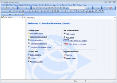
Manage, analyze and process all field survey data, including data from optical instruments (total stations and levels) and GNSS receivers.
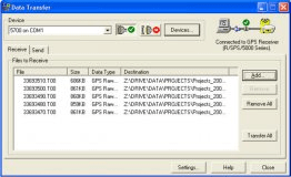
Easily import field and reference data from a variety of sources including transferred data files, field devices, and the Internet.
After processing, export your processed data directly to field devices or to a variety of file formats that can be imported into other design software packages.
Main features:
- Advanced data sharing between the field and the office and between the office and your customers, using exports like Google Earth for project reviews
- Fully integrated corridor and surface application for road management
- Improved GNSS Baseline Processor
- Trimble Geomatics Office Project Converter
- Improved Custom Exporter now exports Scan Points
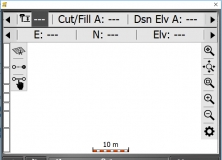
Grade checking and measuring as-builts have never been easier or faster.
A free software program that you can use to prepare a detailed business plan.

Tool for architects, engineers to create models from 3D scanning data.


Comments